DAY WALK TO EAGLES EYRIE, MAYDENA, TASMANIA
TONY AND MATTHEW WATTON
SUNDAY 17/8/14
Background
On 12/8/14 the following article appeared in
Hobart's Mercury newspaper:
"The closure of a $6.5 million tourism development is robbing Tasmanians and
visitors of the chance to access what has been described as one of the most
memorable wilderness
experiences in the country.
The Eagles Eyrie lookout and mountain-top restaurant has been idle since last
November when it changed hands from Forestry Tasmania to the Parks and Wildlife
Service under the
forest peace deal.
The community and Derwent Valley Council have called for better access to the spectacular
architectural showpiece near the top of Abbotts Peak, saying the mothballing of
the site
is a wasted opportunity.
A PWS officer told the Maydena community last week the State Government was
seeking expressions of interest to take over the stunning taxpayer-funded timber
and stone building.
Hobart chef Waji Spiby presided over a handful of cooking classes and functions
in the Eyrie, which he described as an unrivalled wilderness experience.
'It’s better than Mt Wellington. It’s the most amazing venue you’ll ever see but
it’s just getting people up there,' Mr Spiby said.
When the Eyrie was opened in 2009, Forestry Tasmania said it would revive the
struggling Derwent Valley community.
The original plan, touted by former Premier Paul Lennon and former Forestry
Tasmania chief Evan Rolley, was for an $8 million funicular train, or hauler, to
ferry visitors to the Eyrie.
That plan was ultimately abandoned and the site, 1,100m above sea level, can only
be reached by a narrow former logging road.
Derwent Valley Mayor Martyn Evans said the development should have boosted local
employment.
He wants the road upgraded to provide car access. 'It could be an ideal
opportunity for a private operator,' he said.
Maydena Community Association member Geoff Williams said locals were keen to see
a cable car to the summit and had even discussed approaching Mt Wellington cable
car proponent
Adrian Bold.
Mr Williams said another option was tracked vehicles to provide access in
winter, allowing visitors to see mountainous wilderness covered in snow.
A State Government spokesman last night said the situation was a matter for the
Parks and Wildlife Service.
The PWS could not be contacted for comment."
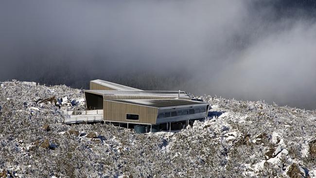
The Eagles Eyrie lookout and
restaurant at Maydena. Photo The Mercury
Preparations
After reading the above account of Eagles Eyrie in The
Mercury of 12/8/14, we thought it would be an interesting day out to walk up to Abbotts
Lookout and have a look at the building for ourselves.
The weather was not exactly beautiful as we left Hobart at about 8.30am, with
low cloud or fog down to around 100m. We hoped it would have cleared up by the
time we started our walk. The forecast was for a fine day, temperature around 14oC.
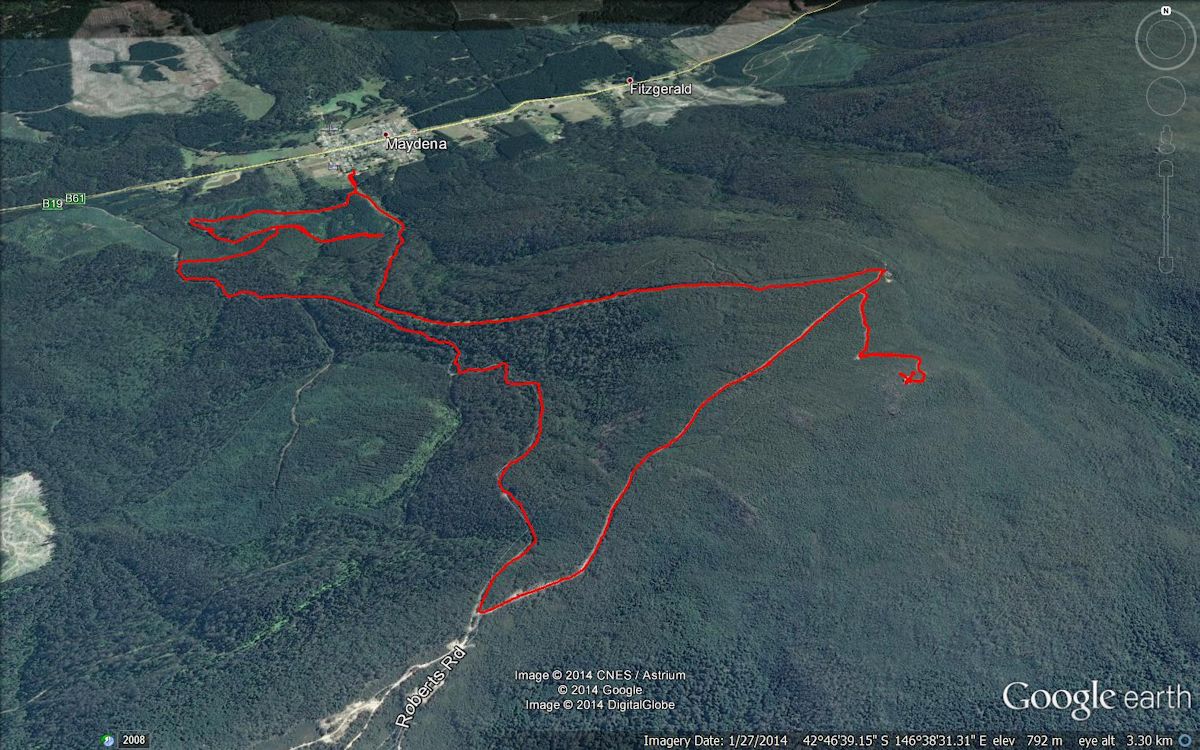
The drive out to Maydena was uneventful, with very little traffic, travelling as
we were in the middle of Winter and on a Sunday morning. We arrived at our
start-point, where Matthew parked his car near a large steel shed a short
distance up Junee Road, at 10.00am. We prepared to start our walk, from an
elevation of approximately 300m.
We both had day packs with the usual extra thermals, gloves, beanies and
waterproof jackets that we knew would be necessary at an altitude of over 1,100m
at the top. I had in my pack the first aid kit, tarp and some sandwiches while
Matthew took his lightweight gas cooker, hot chocolate powder, tube of
evaporated milk and
cooking pot for a hot drink. [He admitted he had forgotten his mug so intended
using the cooking pot for his drink!]
We always each take our personal locator beacons (with GPS) with us as well as
phones with GPS and map software (just in case). Matthew also had a drink bottle
with Gatorade as well as each of us having a 1 litre water bottle. We also took
our trekking poles to give some assistance with our uphill journey. I was
wearing my GoPro camera on my chest. I hoped the batteries would last for the
entire trip but they ran out of juice as we were preparing to leave for the
return walk.
The Walk
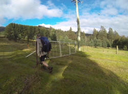
It was a very easy start, with a gradual uphill slope along a wide, grassy track
following under the power lines (wayleaves). We did not climb over any fences or
open gates as there was easy pedestrian access next to the gate across the start
of the track.
However, the gradual slope soon changed to a solid, relentless slog upwards that needed
frequent stops to enable us (me, mainly) to get our breath back.
As well as walking under the power lines we were also following the route of a
water main. We assumed that it was the main water supply line for Maydena, but
we could have been mistaken about that.
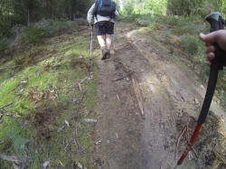
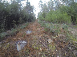
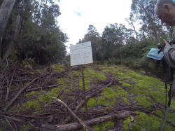
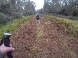
We plodded ever upwards, in virtually a straight line, following the shortest
distance between two points that the power lines dictated.
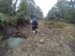
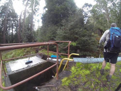
There were several structures that we encountered on the way up, such as various
stop valves, possible surge tanks and a water filter for the water supply. At
one point there was a break in the pipe, with a resultant escape of water that
formed a mini-creek down the track.
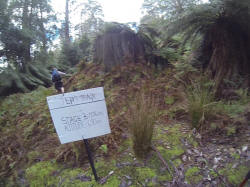
At the point where we saw the "Jef's Track Stage 3" sign, indicating there was
over 3kms (at least) to go and 400m vertical distance and the power lines and
poles stretched up into the far distance ahead of us (and I had called out "Holy
Sh_t" or something similar), Matthew suggested it would be a good idea to have a
rest stop at each power pole. I readily agreed.
At last we reached the communication towers on Roberts Road, where we stopped to
put on our waterproof jackets, beanies and gloves to help guard against the
biting wind.
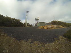
Once again Matthew checked his map and said we should expect to turn left off
Roberts Road a short distance down from where we had stopped. True enough,
within 200m a left turn came into view. We followed this up for about 500m until
we reached our destination, Eagles Eyrie.
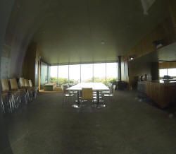
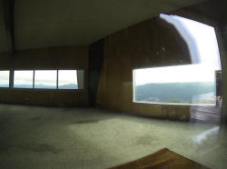
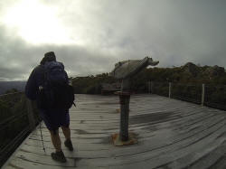
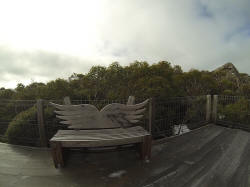
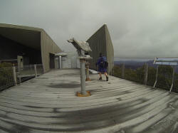
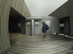
Here the wind really made its presence felt, funnelling through the open spaces
in the building's structure. We had a quick look around, peering in through the
windows at the two large rooms. The only place we could find to have our lunch
with a small amount of shelter and sunshine was against a wall near the wood
storage. I spread out the tarp I had brought and Matthew set up his gas stove to
boil water for our hot drink. The sandwiches I had prepared were a bit of a
disappointment, the bread being slightly less than fresh. We still ate them.
Naturally, any unoccupied building appears less appealing and less friendly than
if it were a hive of activity. We both thought that the inside walls would have
benefitted from a display of, say, wilderness posters rather than large
newspaper headline banners from the past. There also did not appear to be many
comfortable seats (apart from four backless couches) but a lot of hard kitchen
chairs. Maybe things were different when the enterprise was in full swing.
We soon became very cold, despite our layers of clothing, so our stay was brief.
We decided to walk down Roberts Road and set off at a brisk pace in an endeavour
to warm our hands and feet. My hands were uncomfortably cold, while Matthew said
his hands were painful and not able to grasp things.
As we approached the end of the walk, we detoured off Roberts Road onto a
wide track that would take us in a direct route to near the start of our upwards
walk. However, after about 300m the track simply ceased to exist, ending in a
steep drop-off into dense undergrowth. The map software indicated the track
continued. However, the map might have been 20 years out of date. We really had
no alternative but to retrace our steps and find another way back to the car.
Obviously, we could have walked to the end of Roberts Road and then along Gordon
River Road but we thought a closer track should exist, if we could find it.
We followed another track that was indicated as moving in a direction opposite
to that which we wanted to go (not marked on the map software). After a while it
made a 180o
turn and headed back towards our original track, enabling us to reach the car at about
3.30pm.
A quick snack at the local shop then a leisurely drive back to where I had left
my car earlier in the day.
So ended an interesting, hard day trip to an isolated tourist attraction that
really deserves a better fate than to be left empty and unused. We felt that if
it is not resurrected as a viable venture soon then it is likely to deteriorate
in the harsh conditions at the top of Abbotts Lookout.
Back to Tony's Trips Homepage


